
Our topographic surveys establish the change in grade or elevation of land and constructed features such as roadways, drainage channels and structures and are frequently utilized for design purposes and environmental health department permits (septic tank). Specific costs relative to the construction of a foundation of a proposed structure or other improvements can be determined more precisely if a topographic survey is completed prior to design. This type of survey is critical to enable the design for adequate drainage of a site either before or after construction is completed. Elevations can be assumed relative to an arbitrary stable point (Bench Mark) or can be based upon a government identified sea level datum.
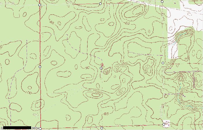
For most people this map is just a bunch of squiggly lines, but to a Surveyor and some other professionals this map holds the answers to many questions. A topographic survey is necessary to create a current map increasing the accuracy down to hundredths of a foot on your land.